New AOD tracking technique by ESA with AERONET and the GAWPFR WMO reference
Keywords : Aerosols, Atmosphere, Sun/Sky/Lunar photometer, Meteorology
The World Meteorological Organization (WMO) has recognised the Word Optical Depth Research and Calibration Center (WORCC) as the primary reference center for Aerosol Optical Depth measurements. The WORCC is a section within the World Radiation Center at the Physikalisch-Meteorologisches Observatorium Davos (PMOD/WRC), located in Davos, Switzerland.
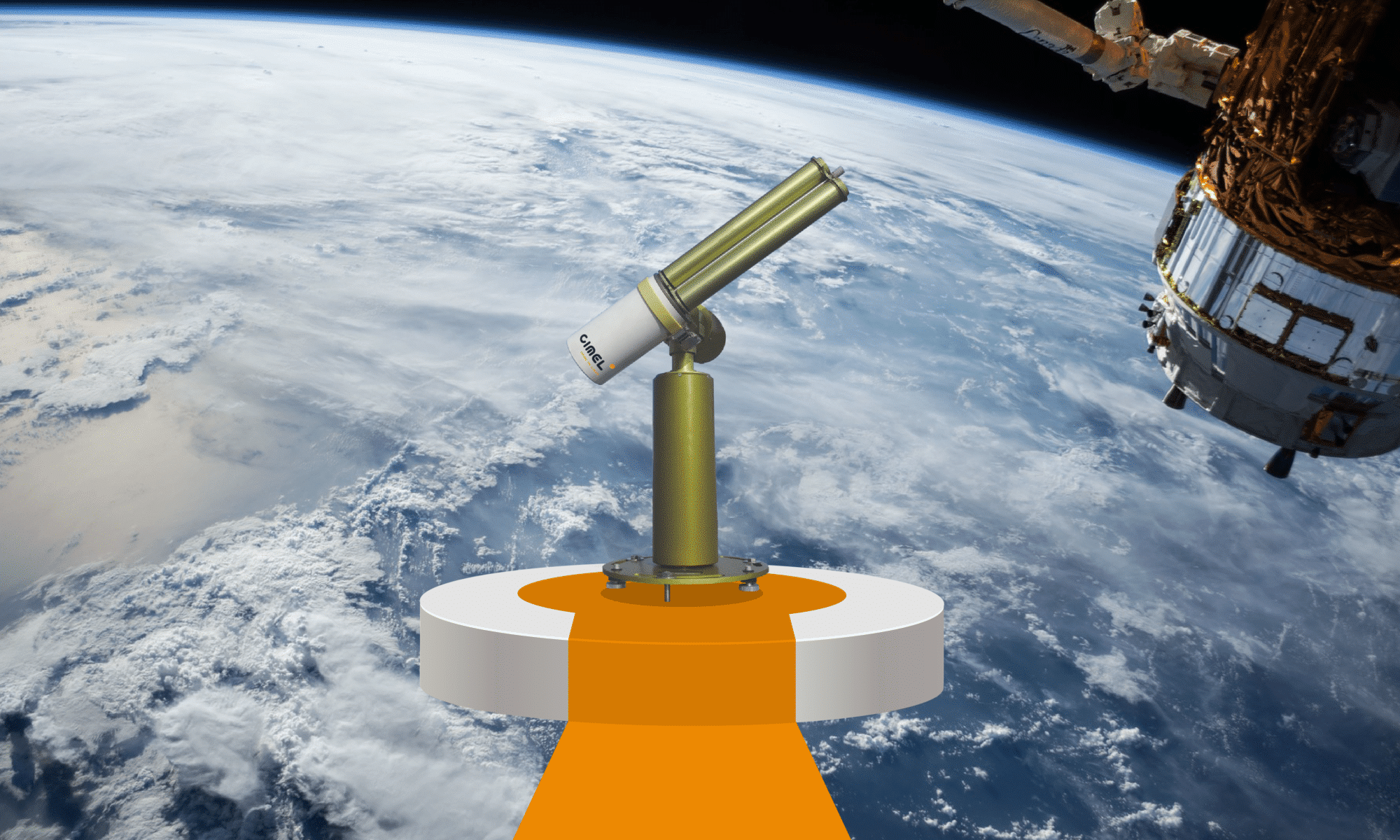
With its new QA4EO project, European Space Agency (ESA) wishes to obtain homogeneous results between the various passive monitoring networks of passive remote sensing of aerosol optical properties, presents in Davos and in France at the Observatoire de Haute Provence (OHP).
Consequently, a precision filter radiometer (PFR) travelling standard was installed at the European calibration site of AERONET to supply continuous traceability of aerosol optical depth measurements to the World reference maintained at Davos through a PFR Triad.
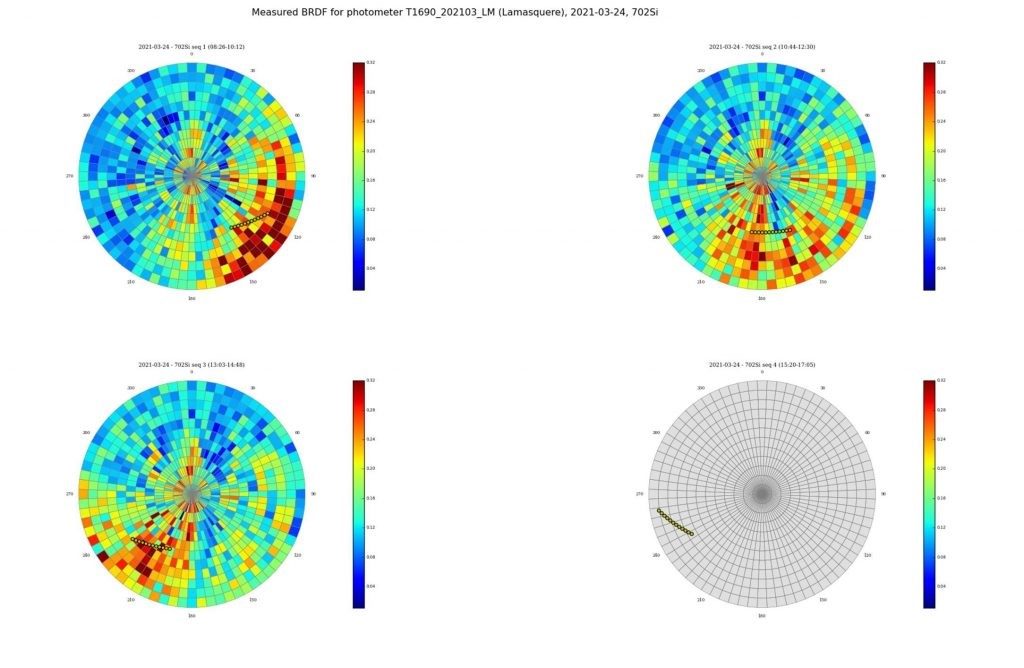
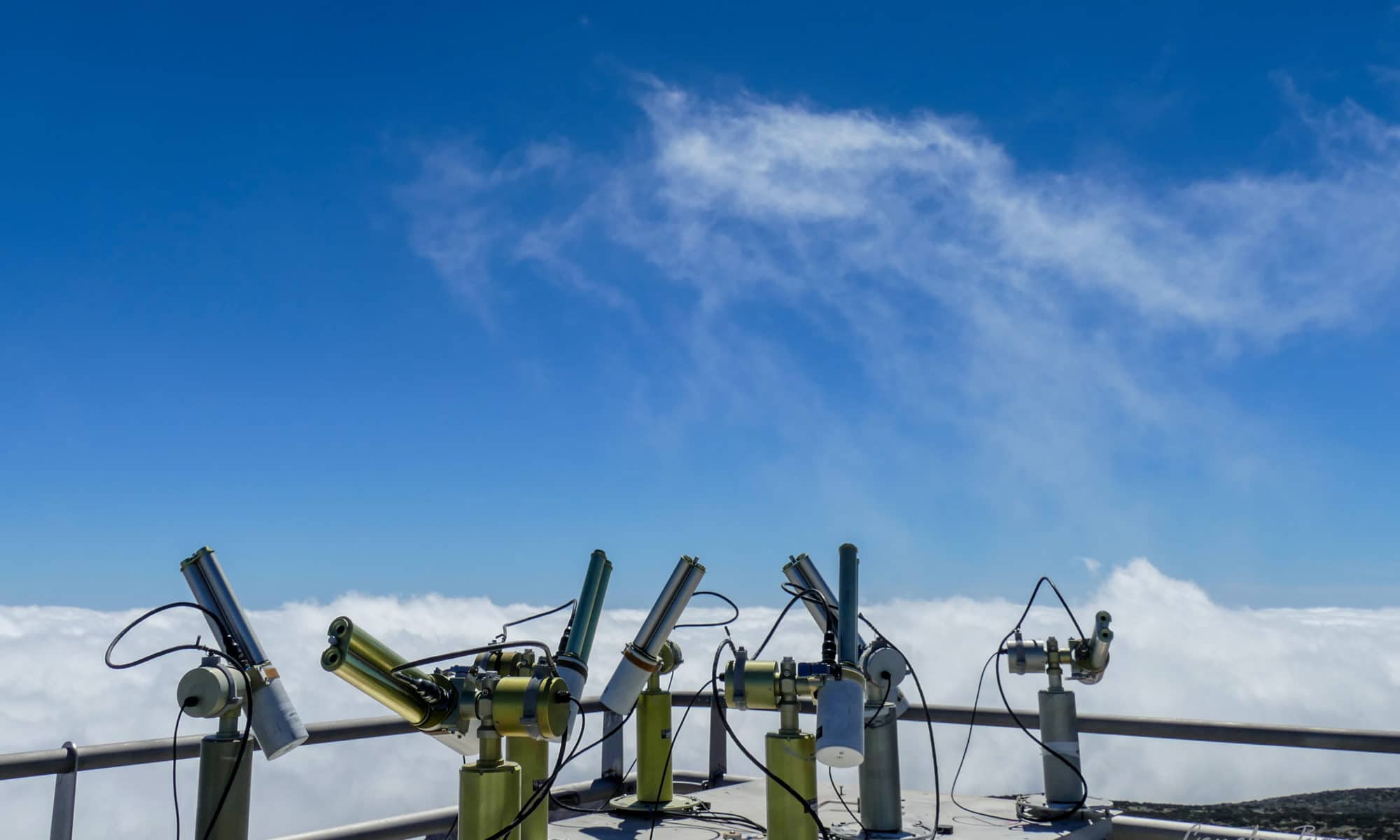
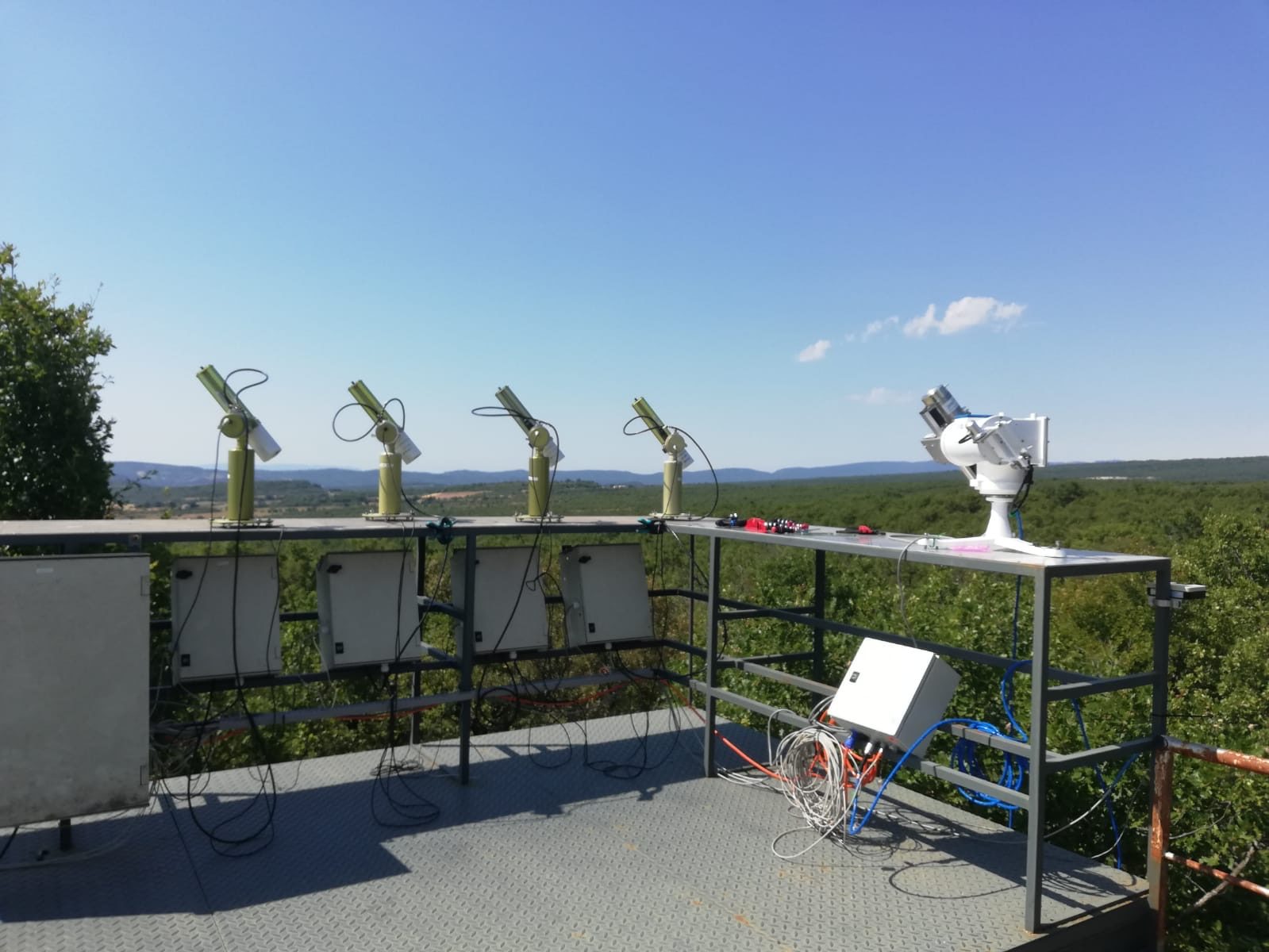
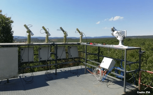
The precision filter radiometer was installed in July 2020 at the Observatoire de Haute Provence (OHP) on a solar tracker provided by the Laboratoire d’Observation Atmosphérique (LOA) next to our 4 sun photometers (CE318-T).
The measurements of spectral solar irradiance during clear sky periods are used to retrieve AOD from our photometers with AERONET calibration and the PFR.
You can follow the comparison between these two instruments in real time on this web page. This real-time analysis allows for continuous monitoring and quality control of the measurements provided by these two devices.
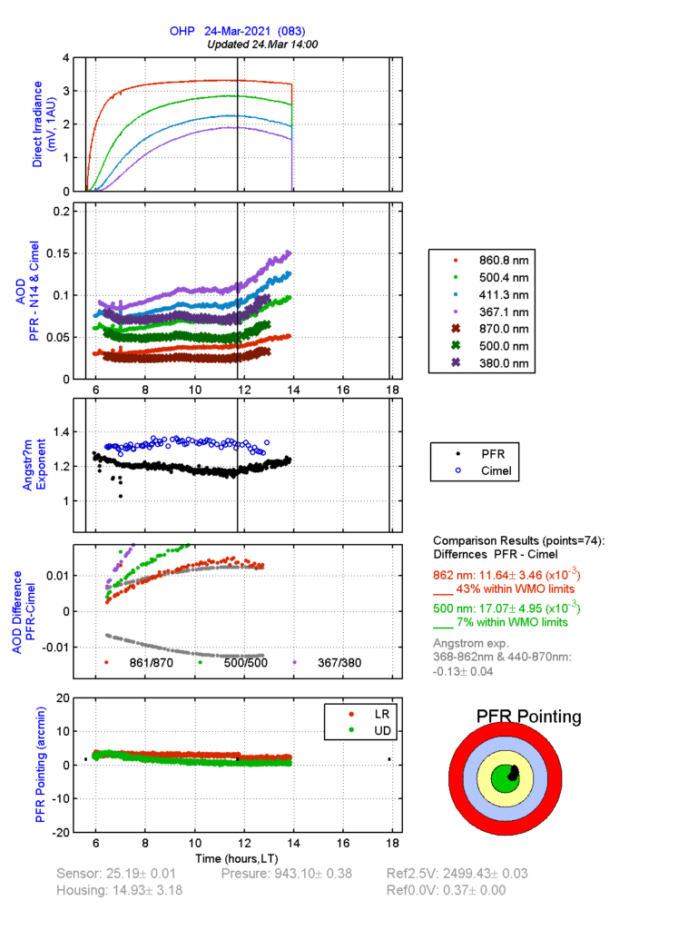
After 6 months of comparison (August 2020 to January 2021) between the two networks, results have been very promising with an Aerosol Optical Depth difference of less than 0.01, corresponding perfectly to the WMO criteria for AOD traceability for 3 of its 4 channels. This shows that the results provided by CIMEL CE318-T photometers are in line with the WMO expectations and that CIMEL photometers may be used as an instrument of reference for other research projects.
Other projects are in parallel with this one such as the 19ENV04 project funded by EURAMET and the European Commission to extend the traceability of international unit systems through the characterization and calibration of our Sun/Sky/Lunar photometers from these networks (See more information here).
This collaboration between research institutes and the European metrology community will establish a consistent framework providing calibrations of our Sun/Sky/Lunar photometers with traceability to the SI as well as comprehensive uncertainty budgets that will be a necessary part of the data provided to the users and actors of these networks.
References:
Kazadzis, S., Kouremeti, N., Nyeki, S., Gröbner, J., and Wehrli, C.: The World
Optical Depth Research and Calibration Center (WORCC) quality assurance and quality
control of GAW-PFR AOD measurements, Geosci. Instrum. Method. Data Syst., 7,
39-53, https://doi.org/10.5194/gi-7-39-2018, 2018.