
FIREX – AQ Mission
Approximately half of fire emissions in the US are from Northwestern wildfires and half are from prescribed fires that burn mostly in the Southeast US. Wildfires burn slightly more fuel and therefore have overall larger emissions, but prescribed fires dominate the area burned and the number of fires. FIREX-AQ will investigate both wild and prescribed fires. Wildfires generally result in exposures with larger pollution concentrations over larger areas, and cause both local and regional air quality impacts. Their emissions are often transported thousands of miles and can impact large regions of the US at a time. Prescribed fires are usually smaller and less intense than most wildfires but occur more frequently and throughout the whole year. They are usually ignited during periods that minimize population expose and air quality impacts, but can cause regional backgrounds to increase, are generally in closer proximity to populations, and are responsible for a large fraction of the US PM2.5 emissions.
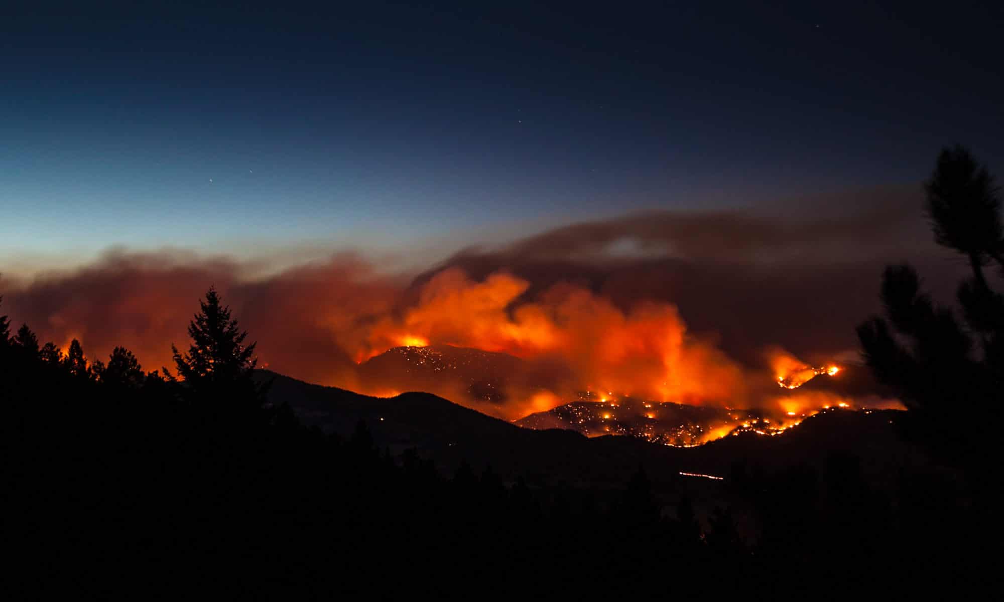
This summer, NOAA and NASA are teaming up on a massive research campaign called FIREX-AQ that will use satellites, aircraft, drones, mobile and ground stations to study smoke from wildfires and agricultural crop fires across the U.S.
Objective: To improve understanding of wildfire and agricultural fire impacts on air quality, weather, and climate.
Cimel provides a CE376 micro-LiDAR as well as its network of CE318-T photometers through AERONET. These solutions will provide detailed measurements of aerosols emitted from wildfires and agricultural fires to address science topics and evaluate impacts on local and regional air quality, and how satellite data can be used to estimate emissions more accurately.
The Primary Mission Partners are:
.jpg)
Photo: P. Cullis, NOAA / CIRES
