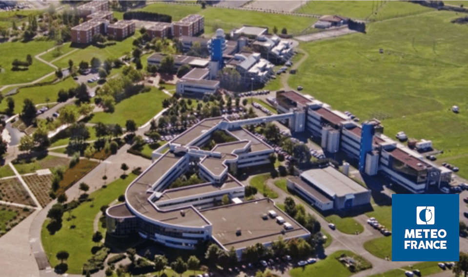
METEO-FRANCE network of CIMEL’s instruments
Keywords : Aerosols, LiDARs, monitoring, Earth observation, remote sensing, CAL/VAL, atmosphere, air quality, photometers, aviation, volcanos survey, volcanic ashes, atmospheric monitoring
July 06th 2022
Météo-France is a public administrative institution, the official meteorological and climatological service in France. As such, it exercises the State’s responsibilities in terms of meteorological safety. The institution is also in charge of managing and modernizing an observation network of the atmosphere, the surface ocean and the snow cover in France and overseas.
The institution is also present on an international level as it contributes to the programs and activities of the World Meteorological Organization (WMO) which sets standards that meet the shared needs of its Member States.
Météo-France’s research department, the Centre national de recherches météorologiques (CNRM), is a joint research unit with the CNRS. Météo-France is also a joint supervisor of the Laboratoire de l’Atmosphère et des CYclones (LaCy), the Service des Avions Français Instrumentés pour la Recherche et l’Environnement (SAFIRE), and the Observatoire Midi-Pyrénées (OMP).
Météo-France core missions are linked to the needs related to the protection of people and property: weather forecasting, knowledge of the climate and its evolution, physics and dynamics of the atmosphere and interactions between men, the climate and the atmosphere…
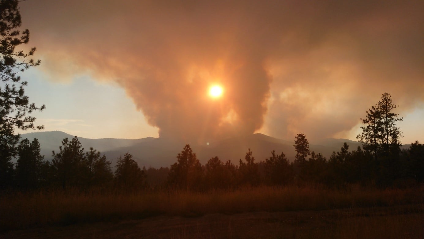
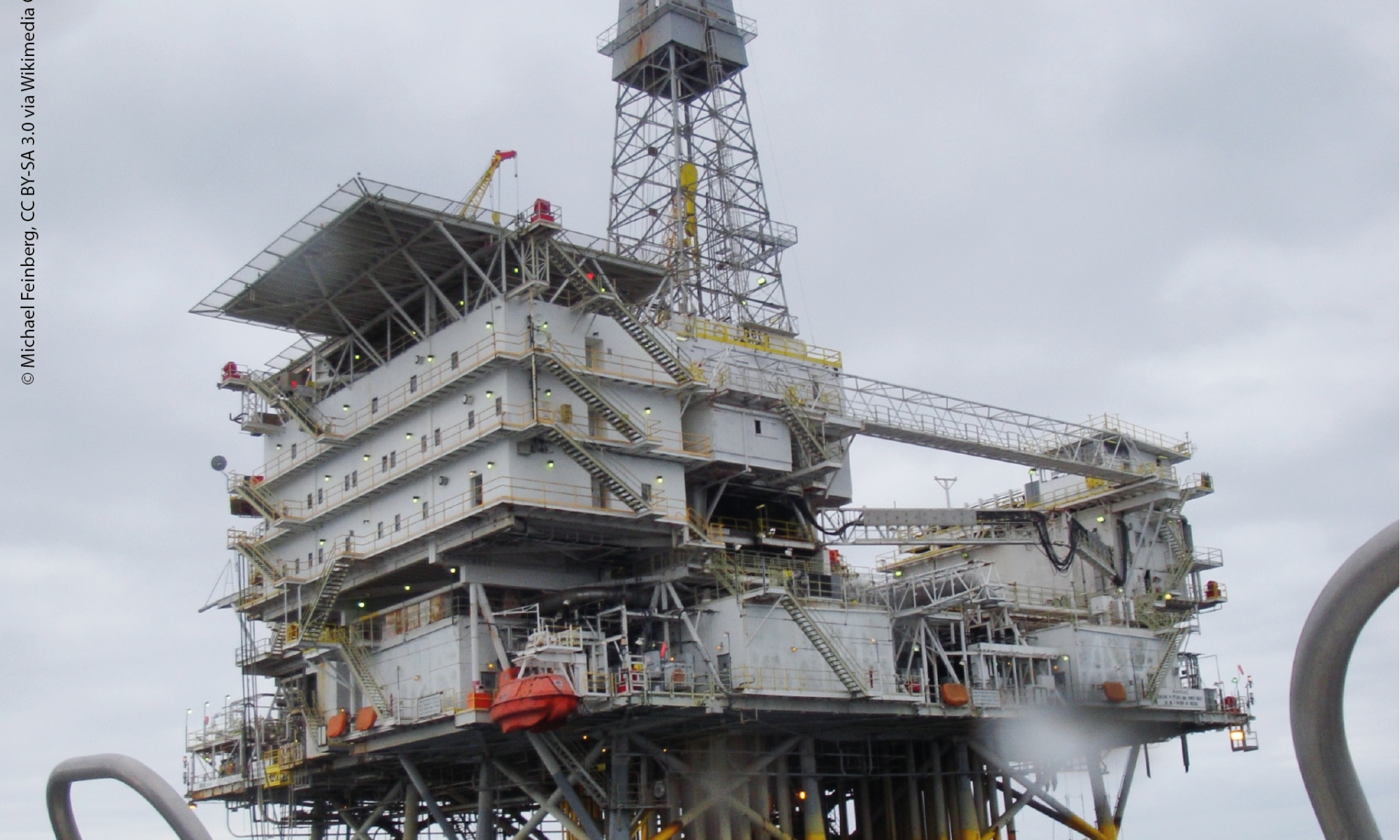
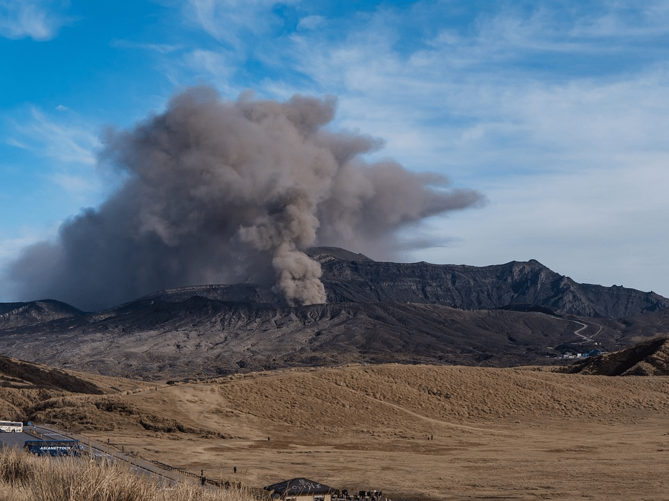
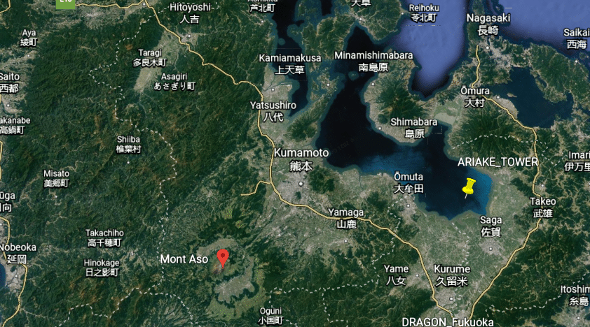
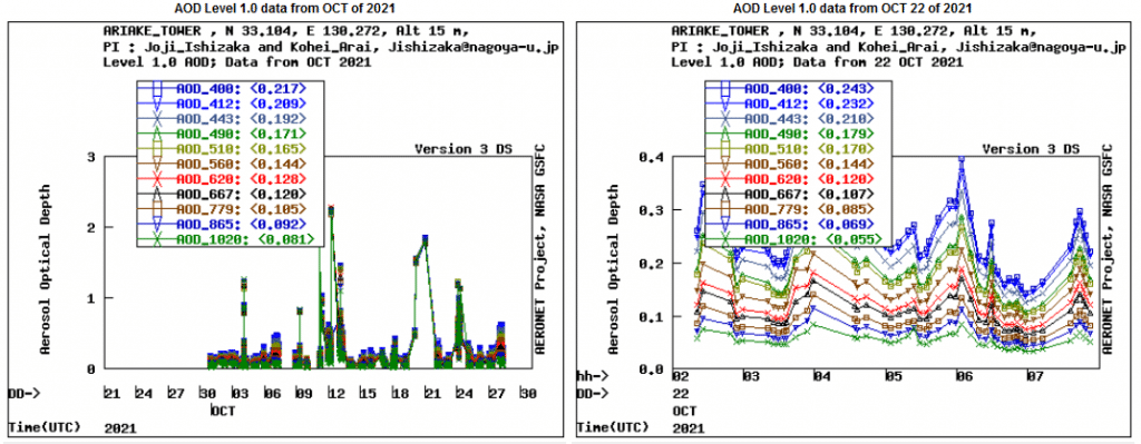
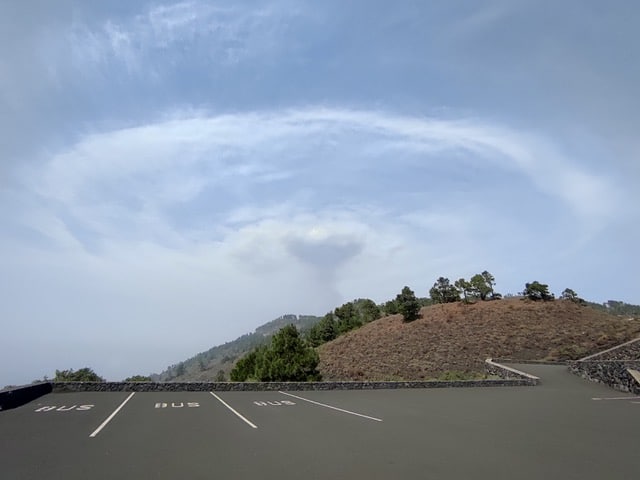
The knowledge of weather conditions is of huge importance for the aviation industry for example. Landing, taking off and even flying safely depends on weather conditions. The perfect example of this huge importance is the eruption of the volcano Eyjafjallajökull which occurred in April 2010. The Icelandic volcano released a thick ash of smoke which disrupted European air traffic, causing five days of complete interruption of traffic: the largest closure of airspace decreed in Europe, not without financial consequences as it led to considerable losses.
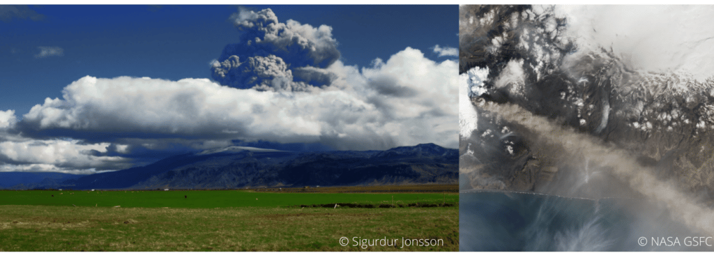
Indeed, volcanic ash which tends to settle in the atmosphere is dangerous as it can be sucked into the plane’s engines, then, melt, and finally clog the jet engines. It can cause air plane accidents.
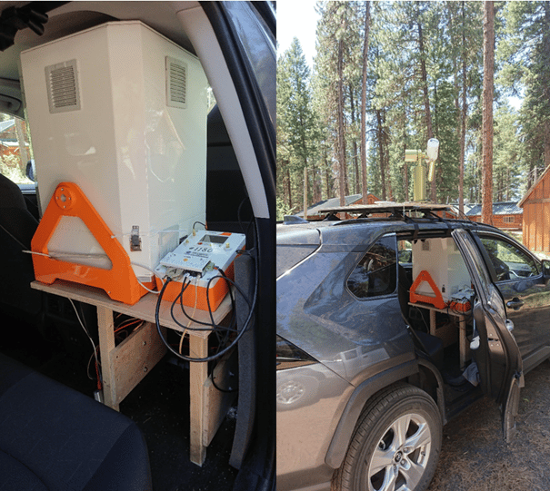
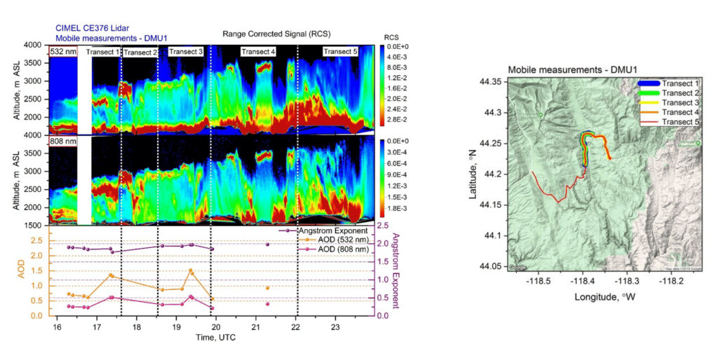
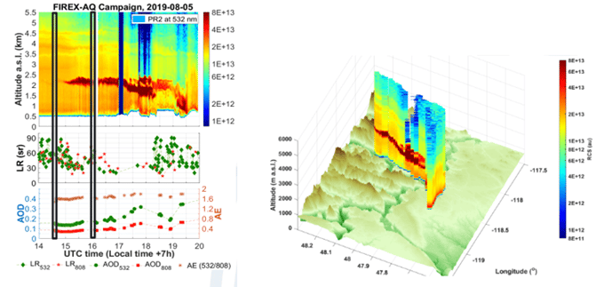
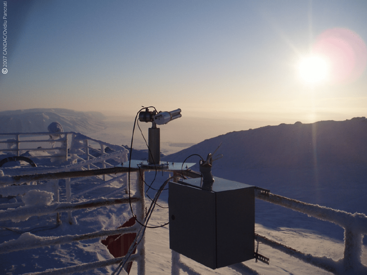
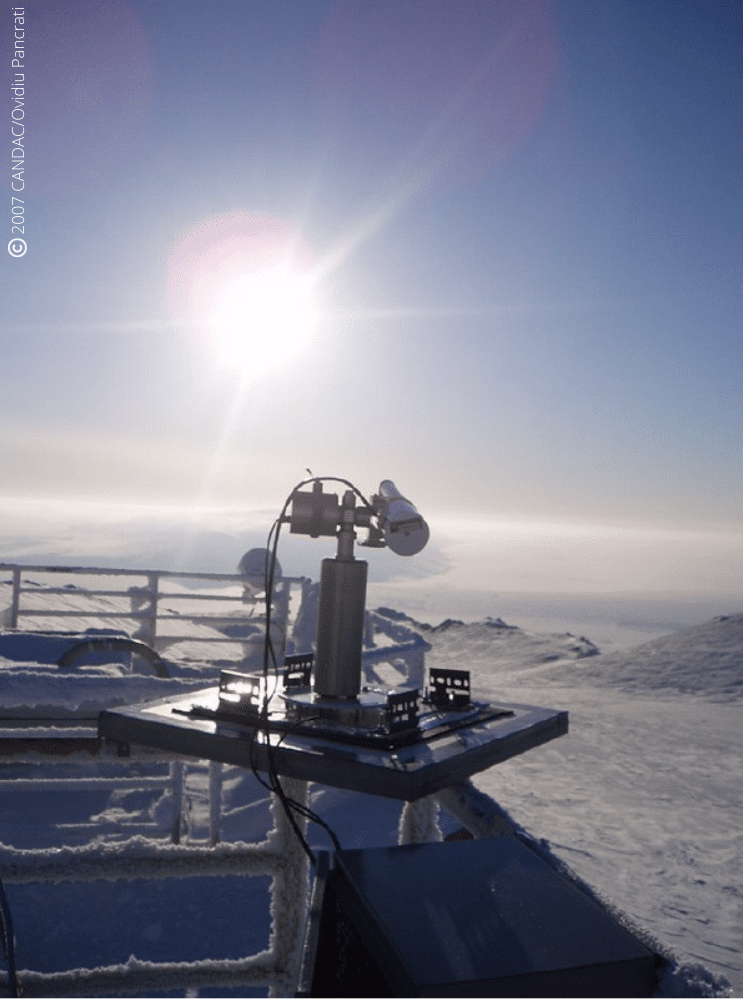
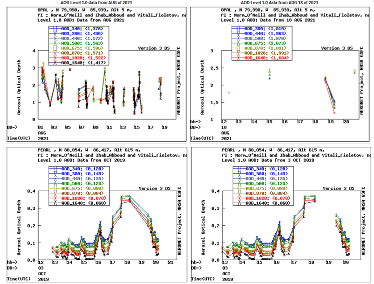
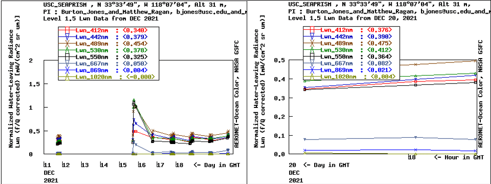
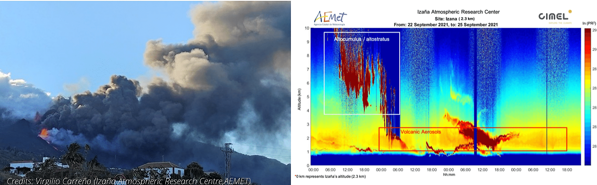
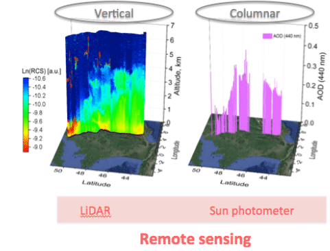
Hence the importance of using state-of-the-art remote sensing measuring instruments to determine for instance the localization, the characterization and the concentration of aerosols in the atmosphere. For this purpose, Météo-France works in collaboration with the LOA (Laboratoire d’Optique Atmosphérique) to manage and maintain a network of efficient solutions and link several instruments such as LiDARs and CIMEL photometers (ready-to-use by AERONET) for more accurate data and considerably reduced uncertainties.
To this end, CIMEL works in close collaboration with Météo-France and ensures to provide quality and constantly improved instruments to meet the urgent needs in terms of security.
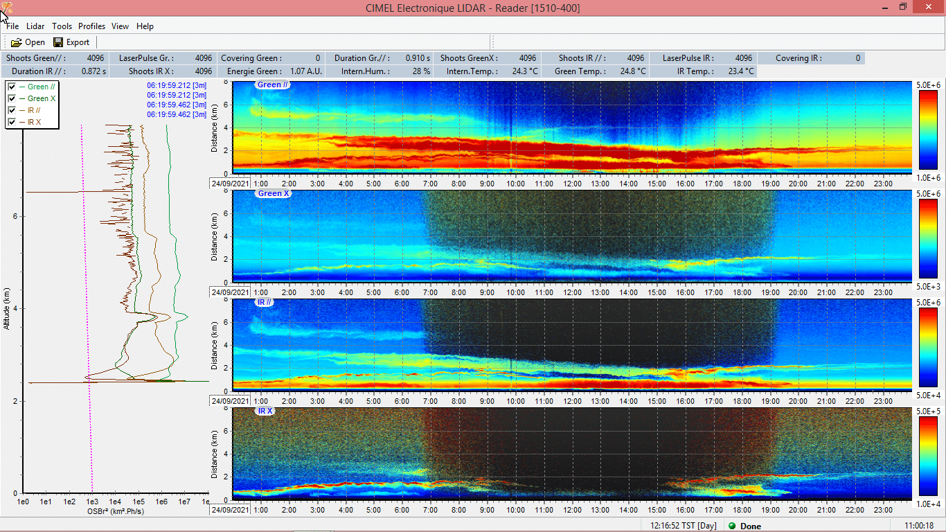
Actually, CIMEL also provides instrument synergies between Photometers and LiDARs through a unique monitoring software iAAMS, dedicated to the aerosols study and analysis. The obtained parameters are the characterization of aerosol types, the extinction and backscatter profile of mass concentration. Cimel’s AAMS is able to automatically locate, identify and quantify aerosols, layer by layer, day and night.