French LiDAR research: From fundamental science to industrial applications
A recent feature article published in Photoniques (issue 136) offers a broad overview of LiDAR remote sensing in France, covering the technology’s scientific foundations, current research directions, and ongoing efforts to translate laboratory developments into operational systems.
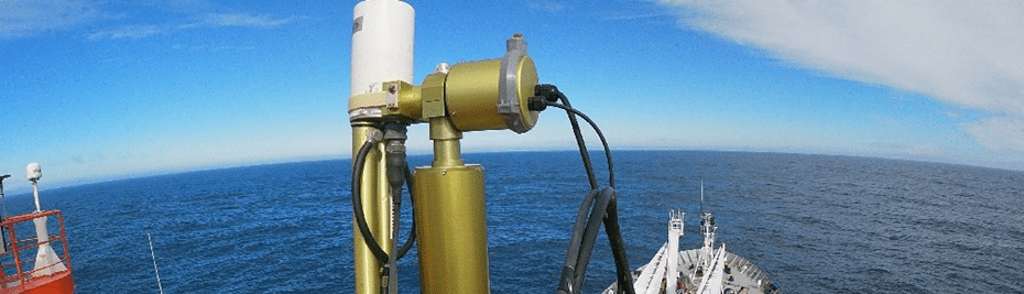
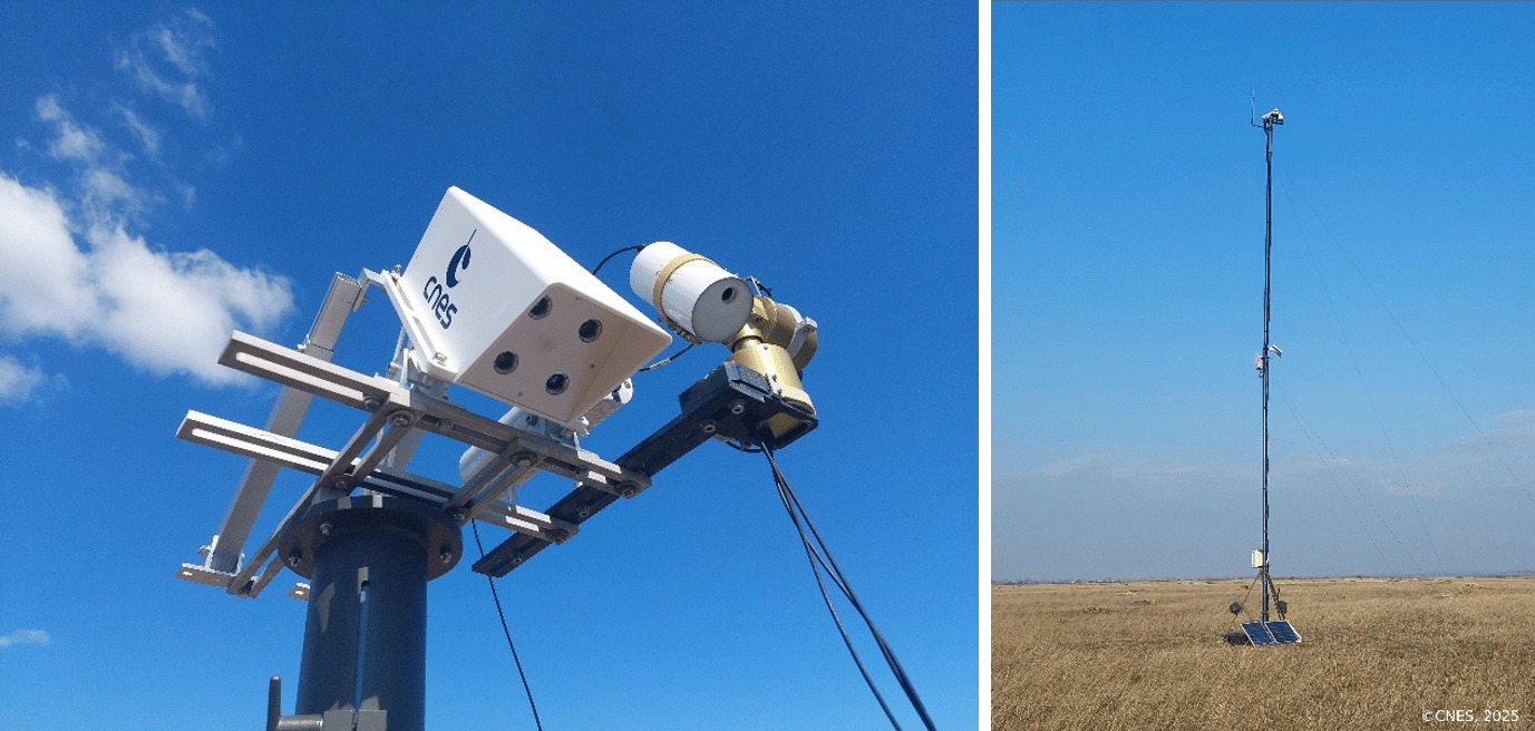
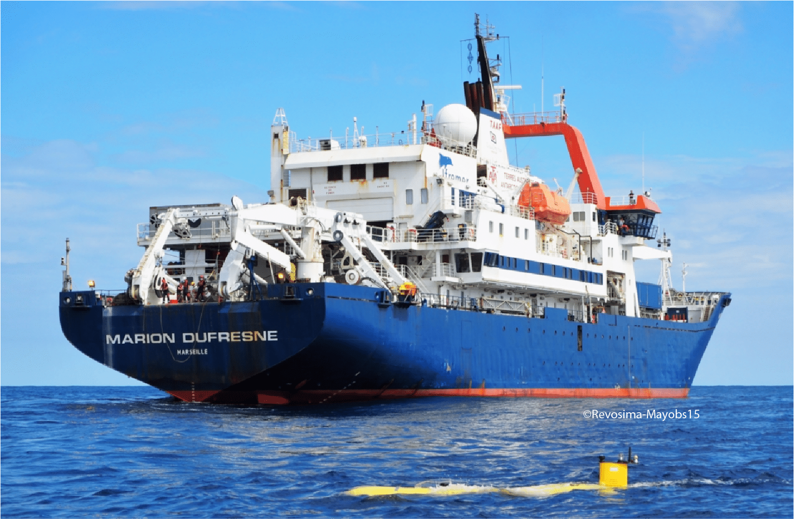
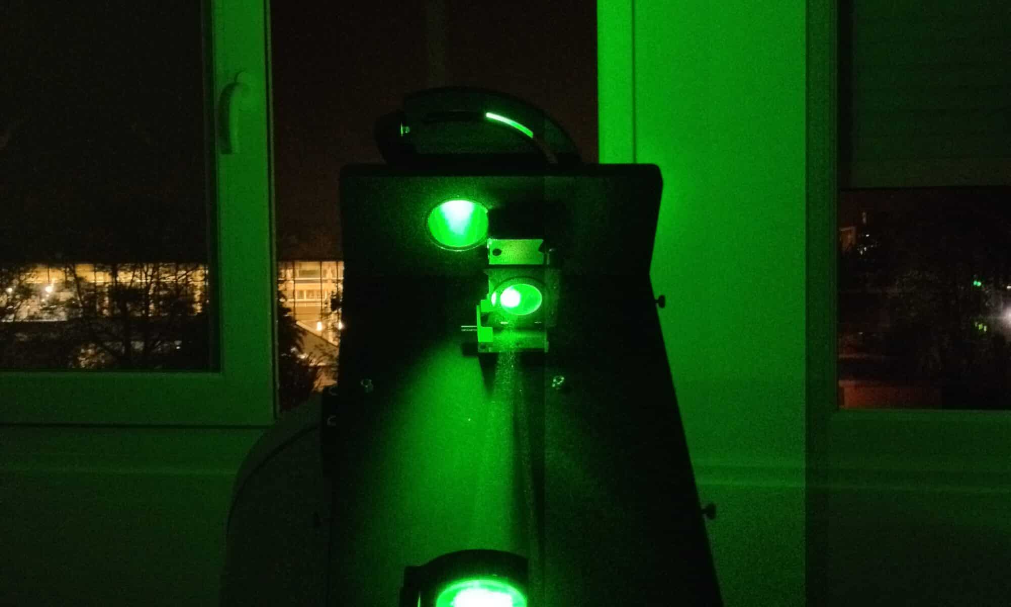
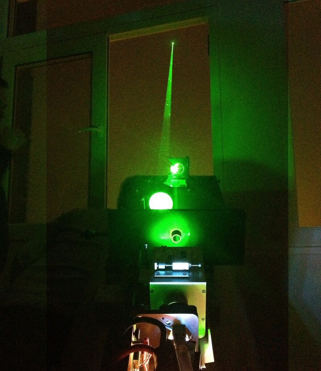
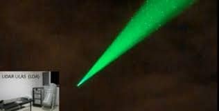
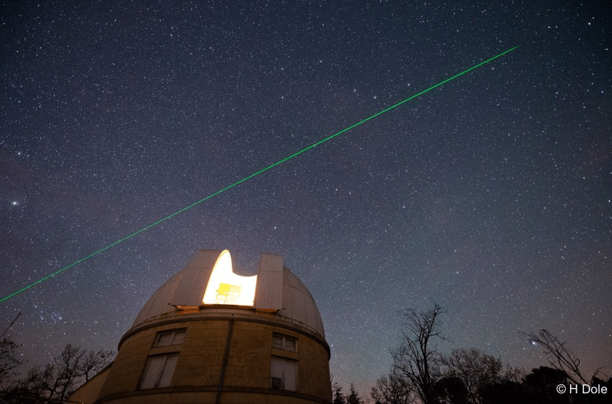
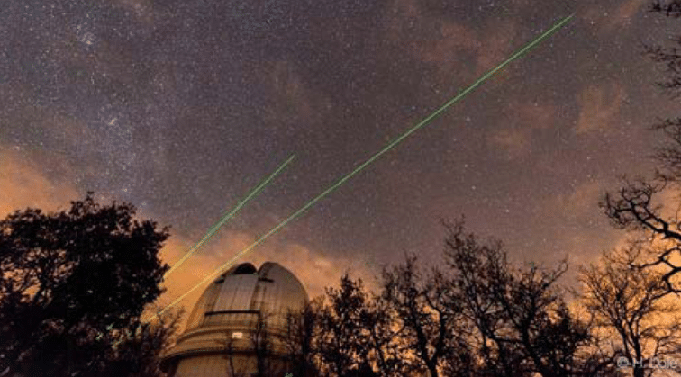
The article, co-authored by researchers from several leading French institutions, including ONERA, LATMOS, LOA, LMD, iLM and Thales, describes how LiDAR systems exploit the directional and spectral properties of laser light to measure atmospheric constituents, wind fields, aerosol distributions, and terrain topography. As illustrated by the photograph of a laser shot at the Observatoire de Haute-Provence (OHP), these systems operate across a wide range of platforms, from ground-based observatories to airborne and spaceborne configurations.
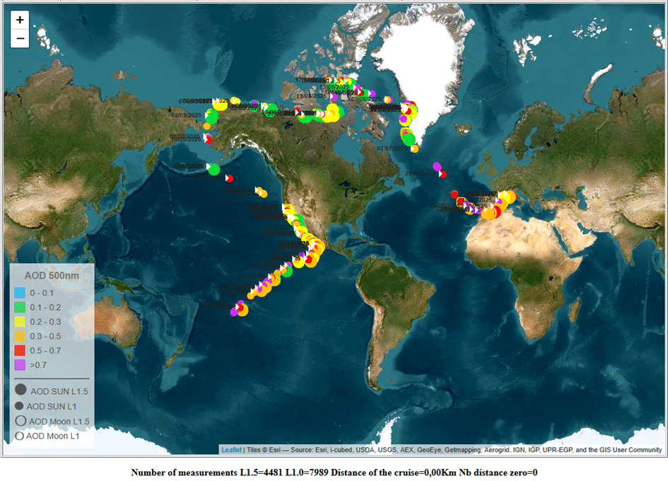
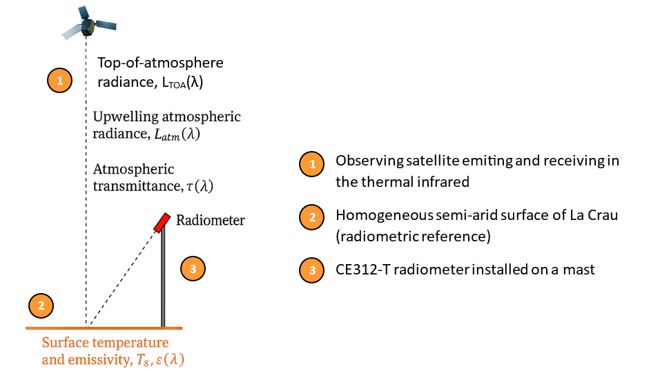
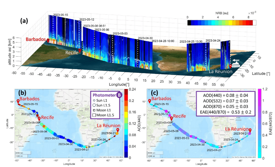
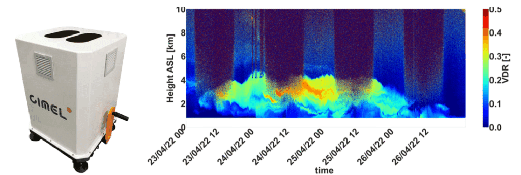
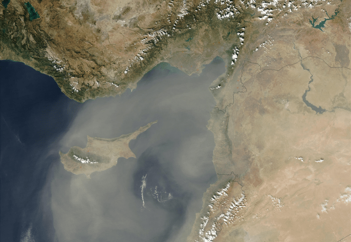
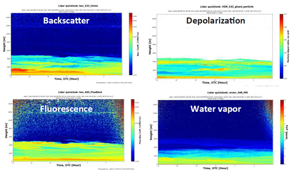
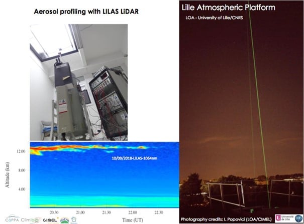
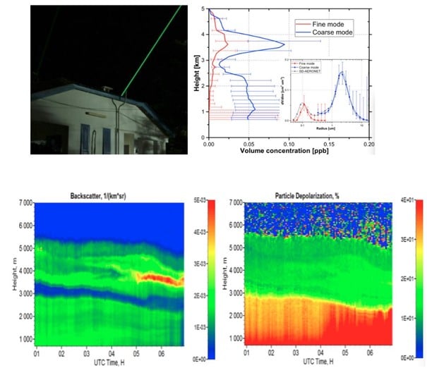
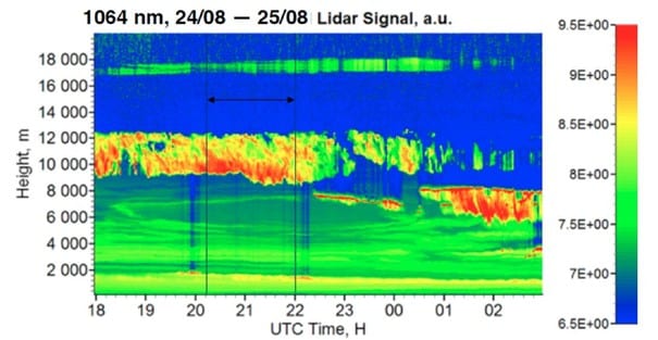
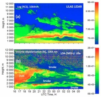
On the measurement side, the article discusses advances in both direct-detection and coherent-detection architectures. For atmospheric characterisation, techniques combining Raman scattering, elastic backscatter, polarimetry, and laser-induced fluorescence allow increasingly fine classification of aerosol types, distinguishing mineral dust, pollen, urban particles and smoke, as shown in the depolarisation–fluorescence diagram reproduced from recent ACTRIS network publications. Long-term ozone profile series measured at French observatories are noted as among the longest continuous records of their kind worldwide.
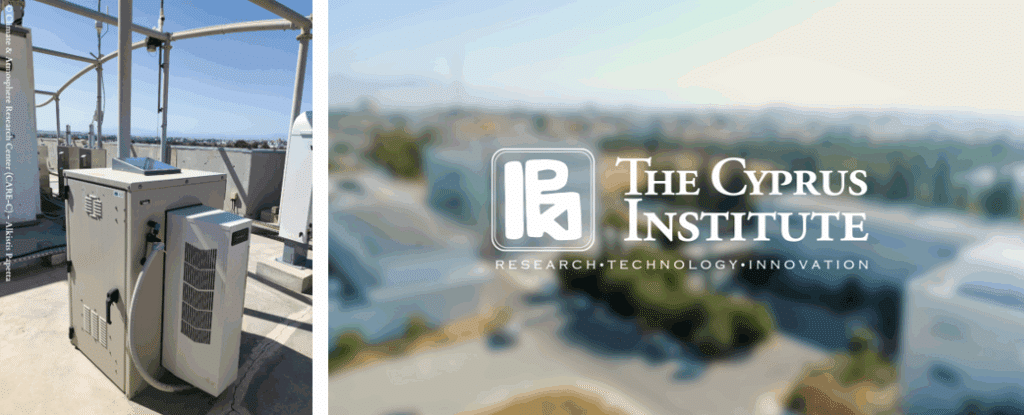
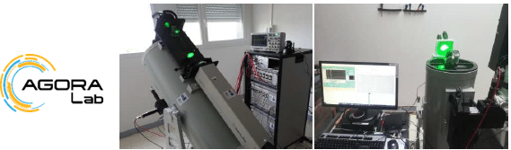
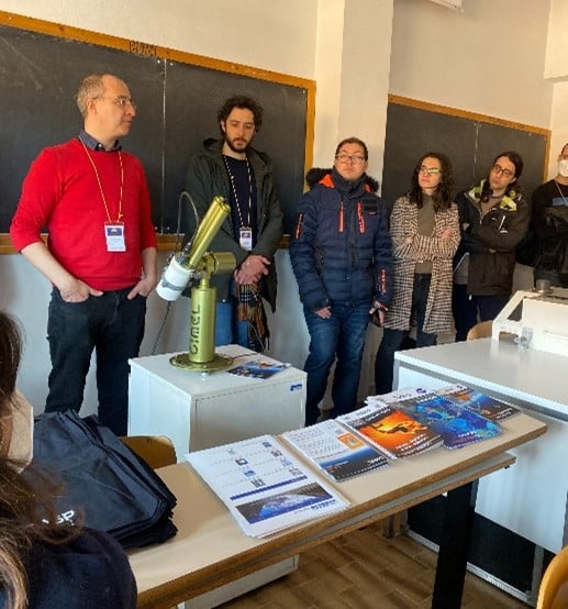
The article also highlights successful technology transfers from academic research to industry. In this context, the AGORA-Lab, a joint laboratory between LOA and CIMEL, is cited as an example of collaborative development that has led to compact, automated LiDAR instruments, including Raman and multi-wavelength fluorescence systems, now integrated within the ACTRIS European research infrastructure.
The national LiDAR HD programme, illustrated through a point cloud map of central Paris, demonstrates how these technologies are already being deployed at scale for land use, flood risk management and urban planning purposes.
The article concludes that while French LiDAR research maintains a strong international standing, further work on system miniaturisation, cost reduction and automation remains necessary to broaden industrial uptake.
Read more here: https://www.photoniques.com/articles/photon/pdf/2026/01/photon2026-136.pdf