
CIMEL accompanies the French president MACRON during his mission in Sweden.
Keywords: Aerosols, LiDARs, monitoring, remote sensing, stratosphere, troposphere.
January 5th 2024
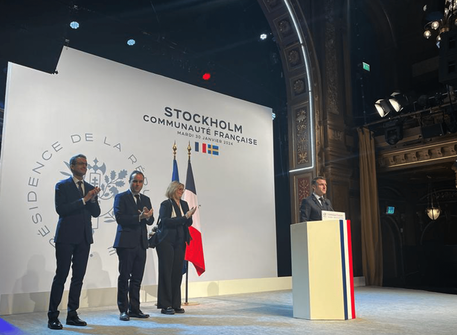
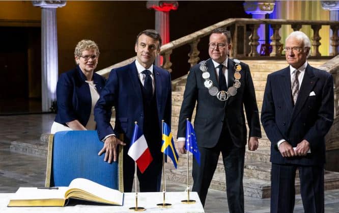
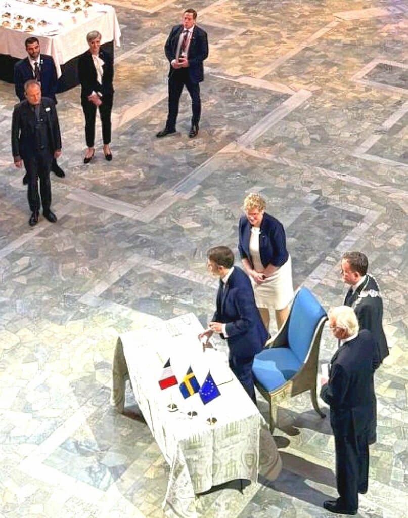
At the invitation of King Carl XVI Gustaf, the French President Emmanuel MACRON, went on a diplomatic state visit in Sweden (Stockholm, Lund and Malmö), organized in collaboration with Business France and Business Sweden from January 29th to 31st 2024.
He was accompanied by his wife, Brigitte Macron, ministers of the French government such as Minister of Research Sylvie RETAILLEAU, along representatives of the French Parliament, public authorities, and cultural organizations.
CIMEL is proud to have been part of the French delegation of 12 companies that joined this mission to strengthen relations between France and the Swedish market.
This mission aims to enhance more collaboration on innovation concerning the space industry and ecological transition, where Cimel is fully involved.
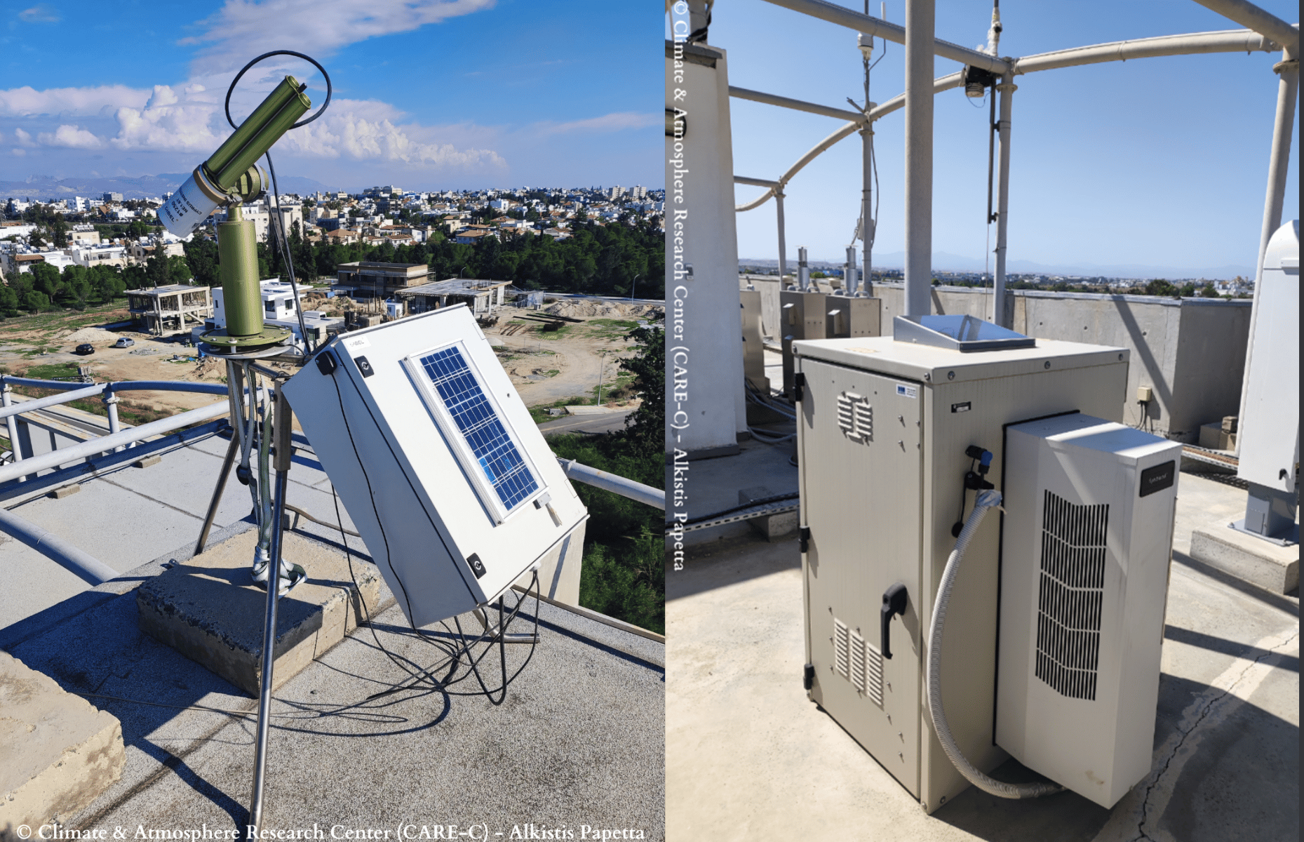
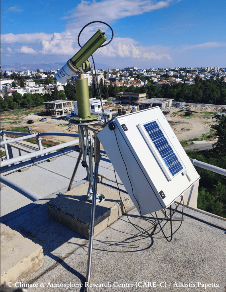
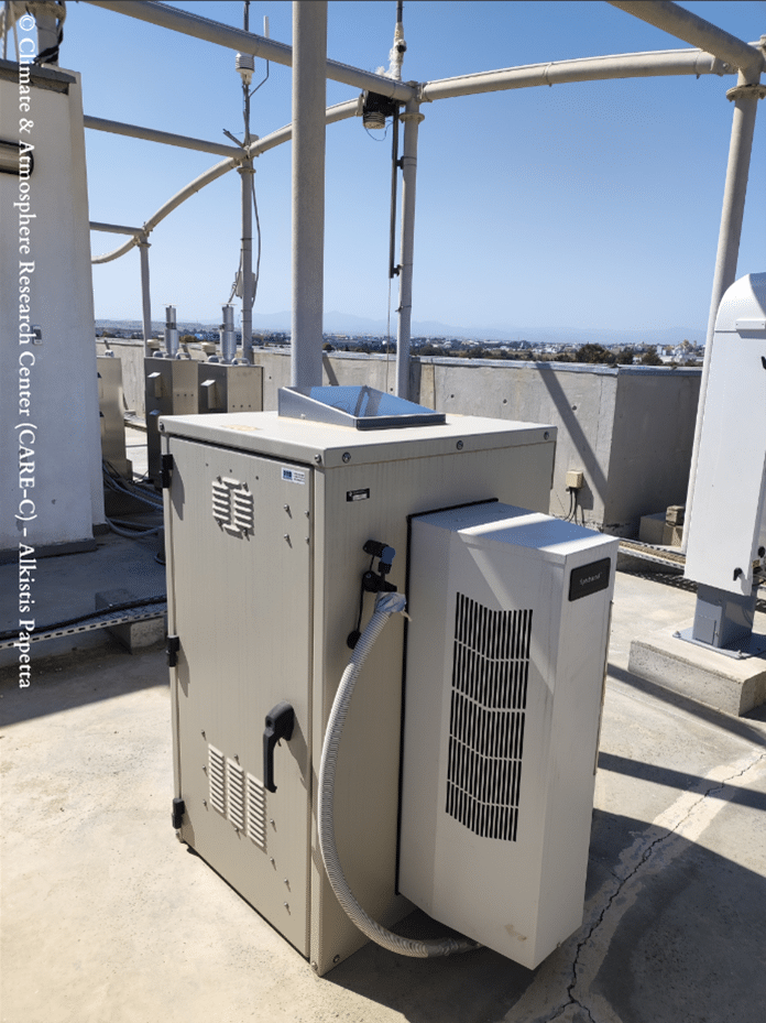
In this aspect, our Sales and Marketing Director, Idris SANHAJ, had the opportunity to present CIMEL’s cutting-edge remote sensing solutions for aerosol monitoring through business meetings with Lund University (Erik SWIETLICKI – Director of ACTRIS SWEDEN), the CEC – Center for Environment and Climate science (Tobias BIERMANN) and Stockholm University (Radovan KREJCI – Head of Atmospheric science unit – ACTRIS member).
Credits: pictures taken by Business Sweden.
CIMEL could demonstrate how our solutions help address challenges related to satellite data validation, air quality and climate change by providing valuable insights and new data. Our objectives are to develop aerosols monitoring networks across Europe, especially through ACTRIS and to bring a strong added value to the air quality application.
A Business Forum organized by Business Sweden took place in Stockholm under the high patronage of King Carl XVI Gustaf. Around 200 Swedish and French business representatives were present for the occasion, with the heads of state and ministers from Sweden and France. Crown Princess Victoria and Prince Daniel graced the delegation with their presence.
It was a pleasure to attend with the presence of some strategic partners and collaborators to discuss current and future projects like CNES (Philippe BAPTISTE), CNRS (Antoine PETIT) and AIRBUS (Guillaume FAURY).
Cimel through our Sales and Marketing Director, Idris SANHAJ was able to talk to the French President Emmanuel MACRON about an innovative project that is set to be implemented soon. This will highlight the national strategic technological innovation combined with the recent scientific progress.
By combining climate modeling, through in-situ sensors, our ground remote sensing and satellite data, we allow more accurate air quality forecasting and so decision-making for public health and environmental management.
To summarize, our participation in this mission in Sweden has been immensely fruitful.
We had the privilege of engaging with numerous partners, fostering meaningful connections, and presenting our innovative solutions.
We are grateful for the visibility provided by this mission, which has undoubtedly contributed to expanding our presence in the global market and advancing our mission to address critical environmental challenges through cutting-edge and made-in-France solutions.
🙏 We extend our gratitude to Business France Pascal CAGNI, Business Sweden Jan LARSSON, #teamfranceexport Michelle PORTUGAL, Félicia KURWITZ and Mélanie GAUDIN for coordinating this successful business trip.
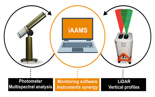
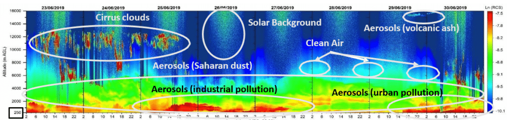
Our range of solutions:

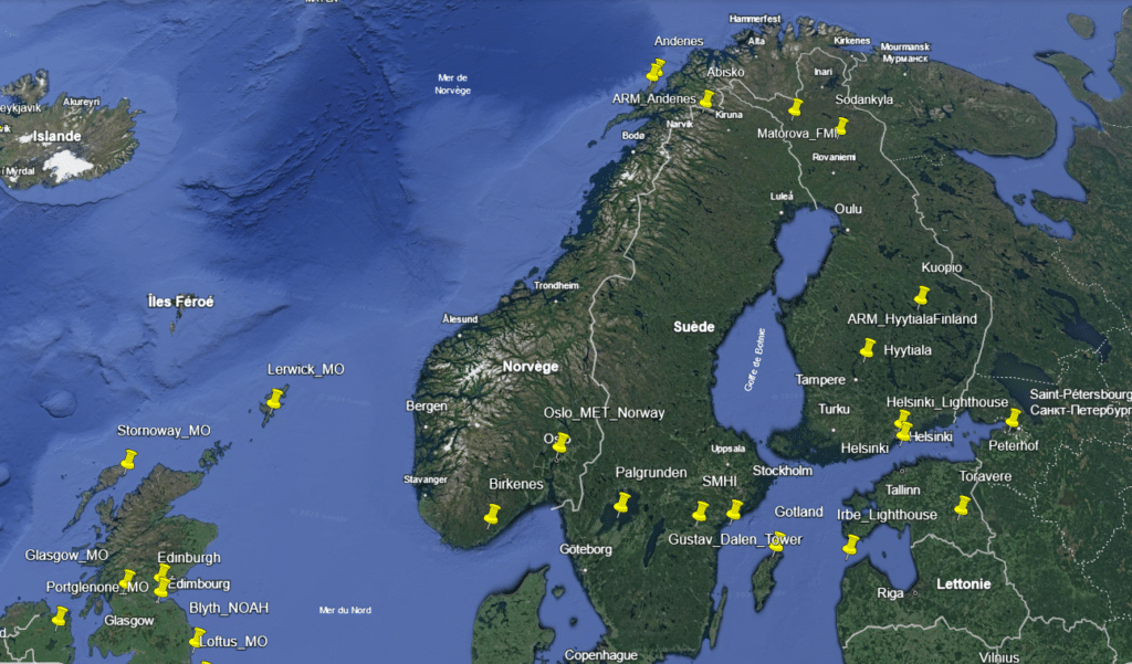
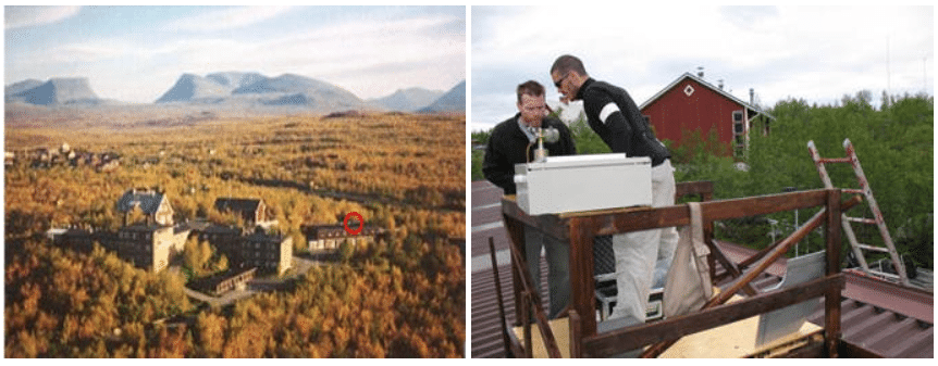
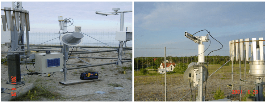
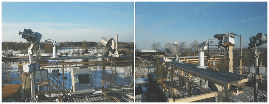
References Sweden AERONET


.jpg)
