Ship-borne CE318-T photometer aboard the Marion Dufresne in the frame of the MAP-IO.
January 11th – March 8th2021
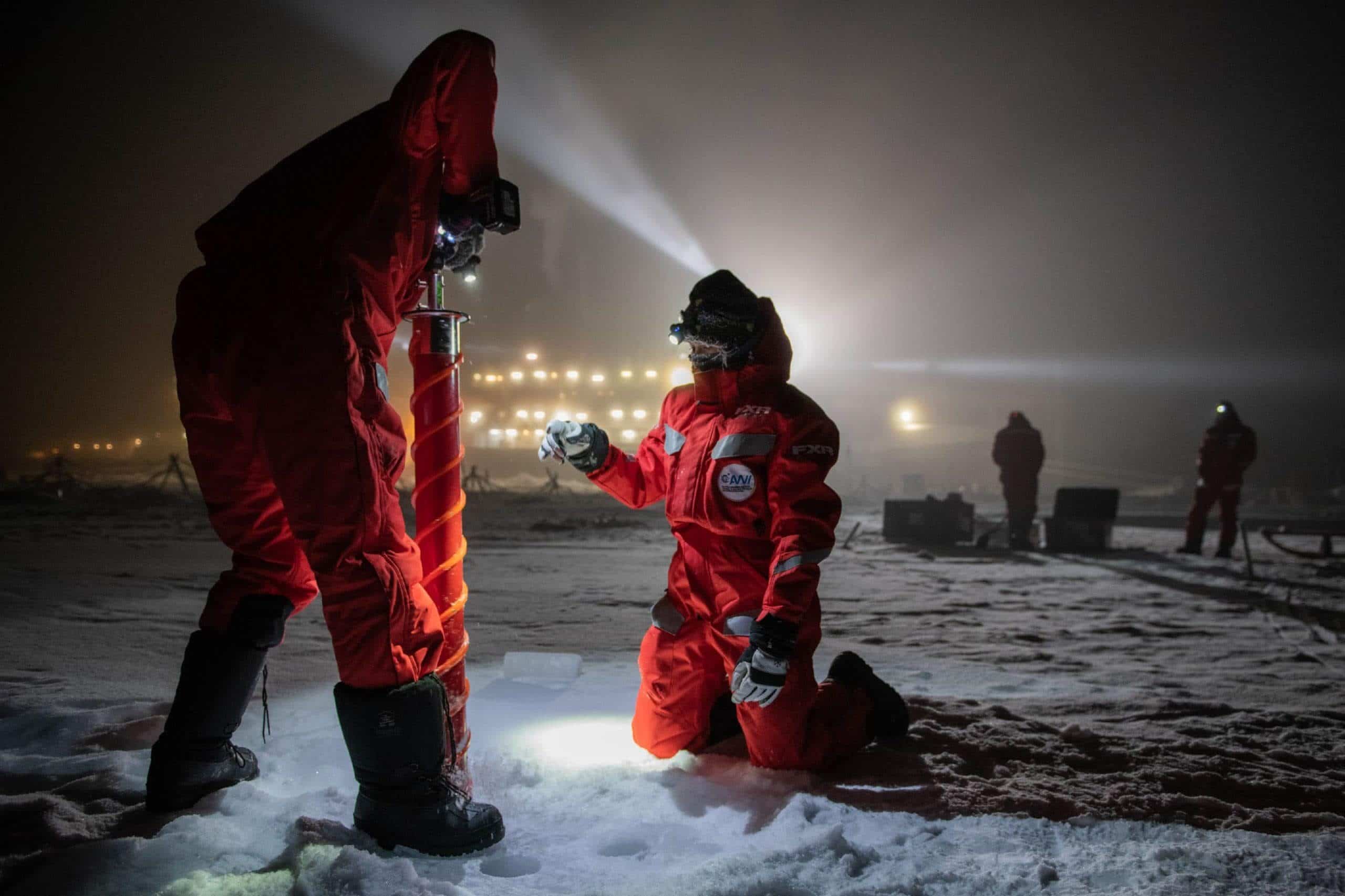
Since the beginning of January 2021, one of our CE318-T photometers is permanently embarked on the Marion Dufresne as part of the MAP-IO (Marion Dufresne Atmospheric Program – Indian Ocean) research programme.
The objective of a permanent installation of our photometer on the Marion Dufresne is to allow the measurement of atmospheric aerosols from mobile platforms, and to extend and automate the coverage of the AERONET network.

In future campaigns, our photometer will be used mainly in the Southern Hemisphere and the Indian Ocean to measure the aerosol optical depth (AOD). The new campaign that has just started is the result of preparatory campaigns like OCEANET and SEA2CLOUD, during which the system has been tested, improved and validated.
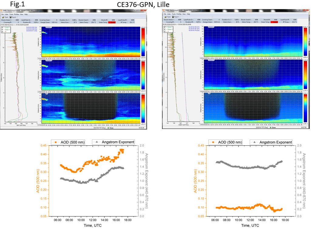
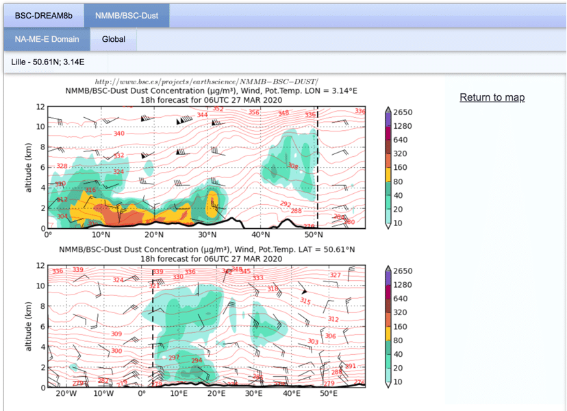
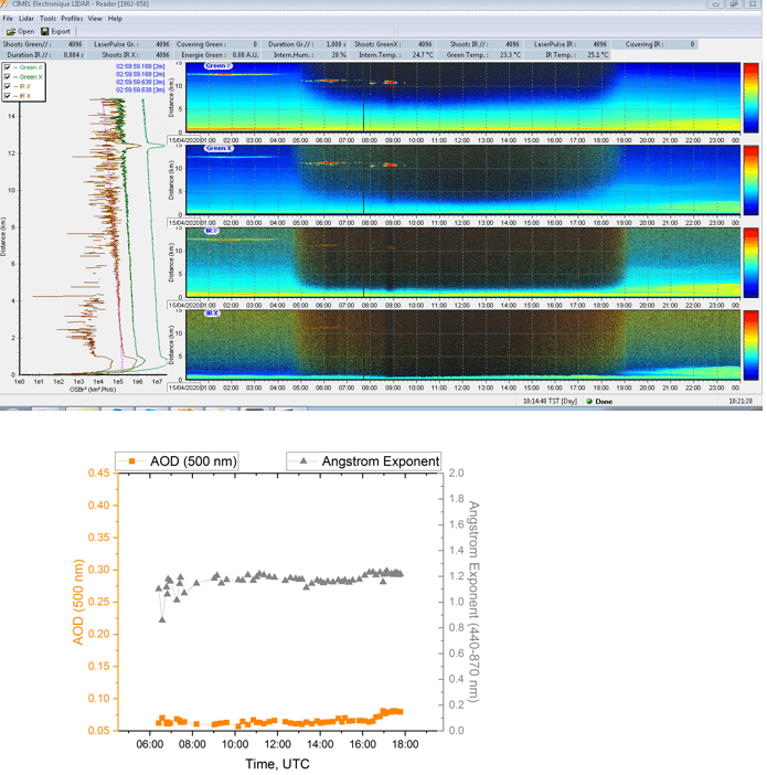
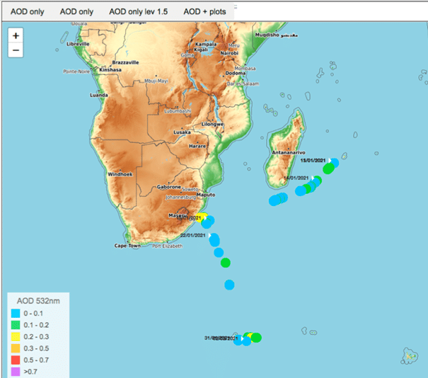
Below, the preliminary results of the campaign obtained thanks to satellite data transmitted to the LOA/CNRS to measure spectral AOD, water vapour content, Ångström exponent, and sky radiance for AERONET.
Objectives
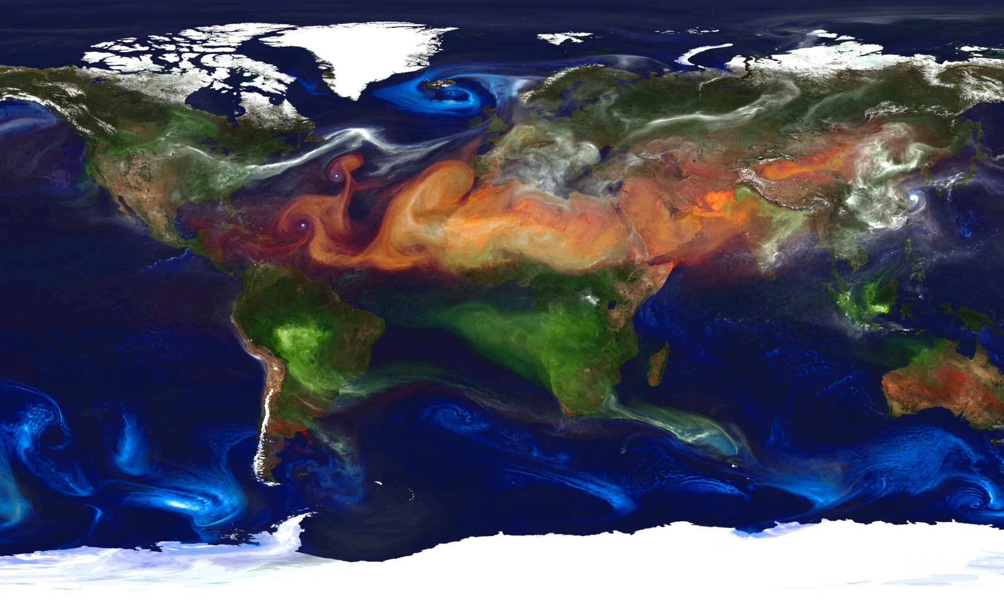
- To monitor long-term atmospheric changes in the Indian and Austral oceans regions which are very poorly documented (IR ACTRIS and ICOS).
- To calibrate and validation data from satellites.
- To understand better the ocean-atmosphere exchanges and regional pollution by improving and adapting and adapting the parametizations used in numerical weather and climate predition models over the Indian and the Austral oceans.
If you want to know more about this campaign click here !
Key words: Aerosols, Atmosphere, sun/sky/lunar photometer, Meteorology